


About Us
About AgriSpatial
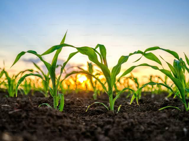
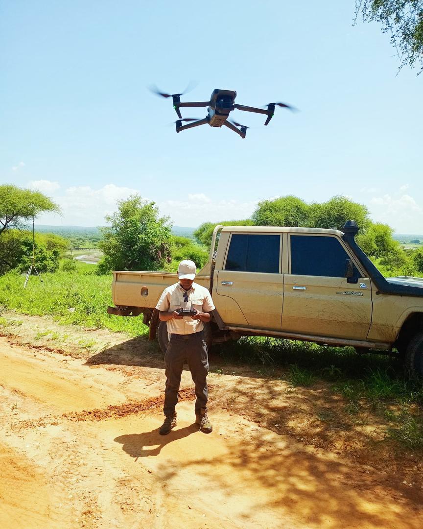
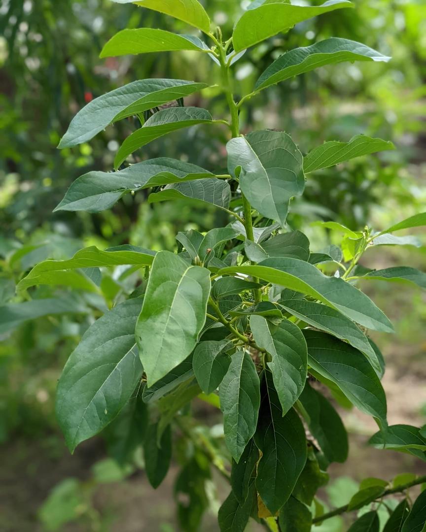
AgriSpatial is a geospatial-focused Agri-tech company that harnesses spatial data from satellite imagery and drone surveys
to deliver precision agriculture solutions. We use geospatial intelligence to craft smart, insight-driven strategies
that tackle agricultural challenges and support sustainable growth.
By integrating remote sensing and GIS, AgriSpatial empowers farmers with actionable insights to boost productivity, use resources more efficiently, reduce operational costs and build resilience against climate change. From data collection and analysis to continuous monitoring and tailored recommendations, we offer complete geospatial solutions for modern, climate-resilient agriculture.
By integrating remote sensing and GIS, AgriSpatial empowers farmers with actionable insights to boost productivity, use resources more efficiently, reduce operational costs and build resilience against climate change. From data collection and analysis to continuous monitoring and tailored recommendations, we offer complete geospatial solutions for modern, climate-resilient agriculture.
Our Mission
To empower farmers with advanced Geographic Information Systems (GIS) and Remote Sensing (RS) technologies,
enabling data-driven, evidence-based agricultural decision-making. We collaborate with agronomic experts to
assess crop requirements, analyze satellite and aerial imagery, monitor plant health, evaluate climatic conditions
and identify optimal zones for diverse crop production. By partnering with academic institutions, government agencies
and media platforms, we aim to build geospatial literacy among current and future agricultural professionals and extend
actionable intelligence to farming communities across Tanzania.
Our Vision
To transform agriculture in Tanzania by ensuring that every farmer, regardless of farm size has access to geospatial
intelligence through GIS and Remote Sensing. We aspire to create highly productive, environmentally sustainable and
climate-resilient farming systems that contribute to national and global food security.